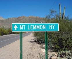
Mt Lemmon road bike ride in Tucson, Arizona is a favorite bike ride among the local cyclists!
Mt Lemmon Bike Ride Description
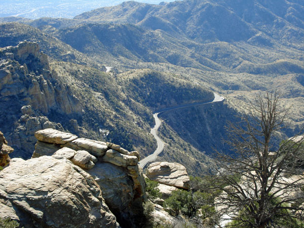
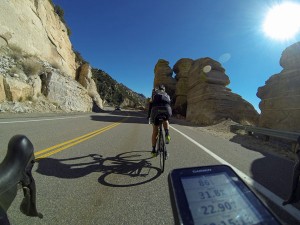
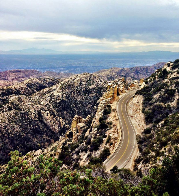
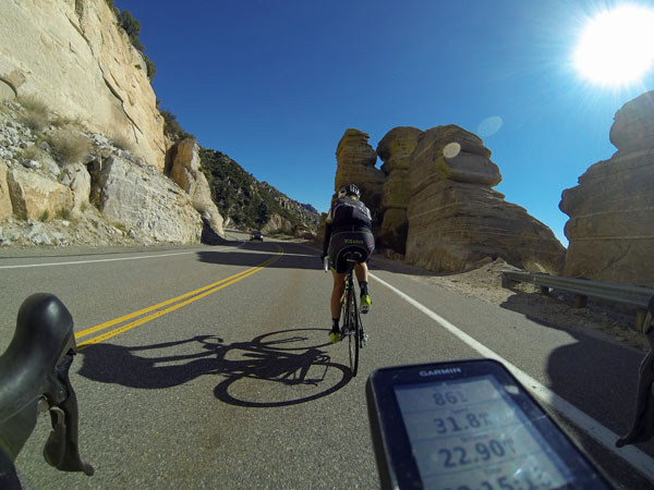
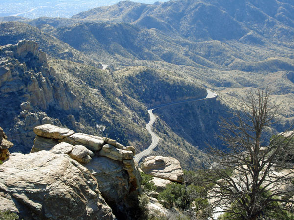
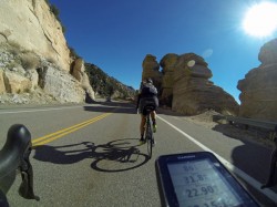
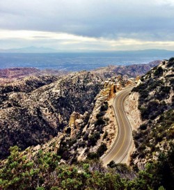
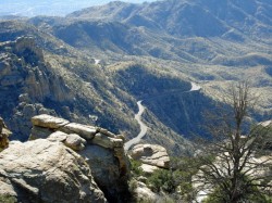
Cycling up the Mt Lemmon Hwy in Tucson, Arizona is an epic ride and will rival some of the best climbs across the country.
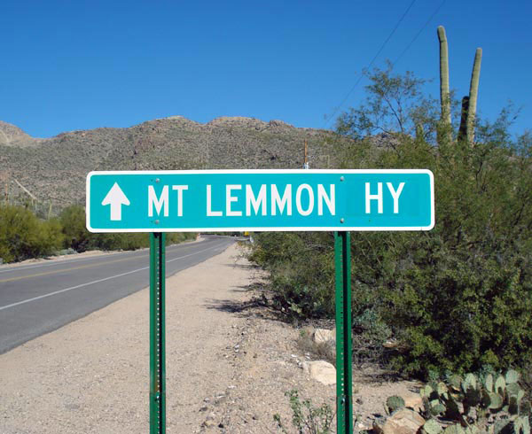
You start off at about 2,557 ft surrounded by saguaro cactus and mesquite trees and climb as high as 8,198 ft to pine tree vegetation and cool air.
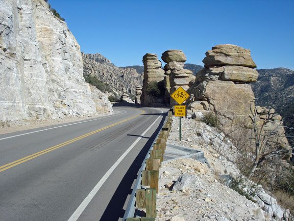
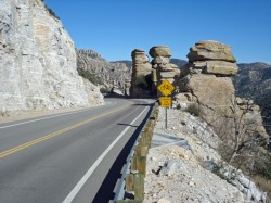
The road is in great shape with a wide shoulder most of the ride. On the way down there is no need to ride in the shoulder because you will be keeping up with traffic.
If you love to climb and descend this is the ride for you!
Lance Armstrong in his winter training months in preparation for Tour De France rented a cabin on the top of Mt Lemmon and would climb up the mountain to the top of a long days ride. I know because I saw him on more than one occasion and even got the chance to talk to him.
To add 2.89 miles and 760 ft of climbing to the ride you can climb up to the Mt Lemmon Ski area. Just before Summerhaven toward the top of the ride turn right on Ski Run Rd.
If your feeling really ambitious keep on going past Mt Lemmon Ski area had to the very top which is called the towers.
Potential Hazards
No real hazards other than high speeds descending down the mountain. There can be fallen rocks in the road from rains that if you hit while descending down the mountain can make for a gnarly crash. Control your speeds, look ahead, and beware of vehicles.
Start Location
You can start anywhere in Tucson. Most people park in the Safeway shopping center at the intersection of Tanque Verde Road and Catalina Highway.
Rest Stops
- Bathrooms & camping at mile 5.5 which is Malino Basin
- Bathrooms at mile 12 which is Bear Canyon
- Bathrooms at mile 14 which is Windy Point
- Water and bathrooms at mile 21 which is Palisade Ranger Station
- Restaurants and bathrooms at mile 29 which is Summer Haven
- Restaurants and bathrooms at Ski Valley which is about 1 mile up from Summer Haven
Food and Drink
- Safeway shopping center located at Tanque Verde and Catalina Highway
- Le Buzz Cafe a favorite among the locals located at Tanque Verde and Catalina Highway
- Subway located at Tanque Verde and Catalina Highway
- Sawmill Run Restaurant located at Summer Haven
-
Mt Lemmon Cookie
Cabin located at Summer Haven -
Iron Door located at Ski Valley
Bike Ride Map and Elevation Details
Max elevation: 8159 ft
Min elevation: 2560 ft
Total climbing: 6958 ft
Total descent: -6955 ft
Mt Lemmon Road Bike Ride To The Very Top Radio Towers
Below is the map and elevation profile for those that want to conquer the very top of Mt Lemmon. It is an extra 1,387 ft of climbing from Summer Haven to the very top.
Max elevation: 9136 ft
Min elevation: 2559 ft
Total climbing: 8322 ft
Total descent: -8316 ft
16 Comments
Leave A Comment
You must be logged in to post a comment.



Hi Tyler,
Elyse and I are heading to Tuscon in March with our bikes and will be riding Mt. Lemmon. I picked up some Bontrager R4 320tpi tires to replace my winter commuters. Should I be concerned about the road conditions in March? I’ve considered bringing a spare tire along. What does an experienced Mt. Lemmoner recommend? Also, any tips for a low lander getting used to the higher elevations would be welcomed. Thanks!
Come March you will be fine. Just bring some layers for the decent down the mountain. Can still be a little chilly at the top of the mountain in March.